Climbing volcanoes in Indonesia
Content
- General informationn
- Tours to volcanoesn
- The role of “fire mountains” in the life of the local populationn
- Volcanoes: Agung, Batur, Ijen, Bromo, Kelimutu, Krakatoa, Tambora, Merapi Indonesia is not only the largest island nation on the planet. The territory of the republic contains the largest number of volcanoes that appeared millions of years ago. Many of them are still active and are under the supervision of scientists. It is impossible to visit all the volcanoes of Indonesia, but the most famous and interesting ones are included in excursion programs for adventure lovers.
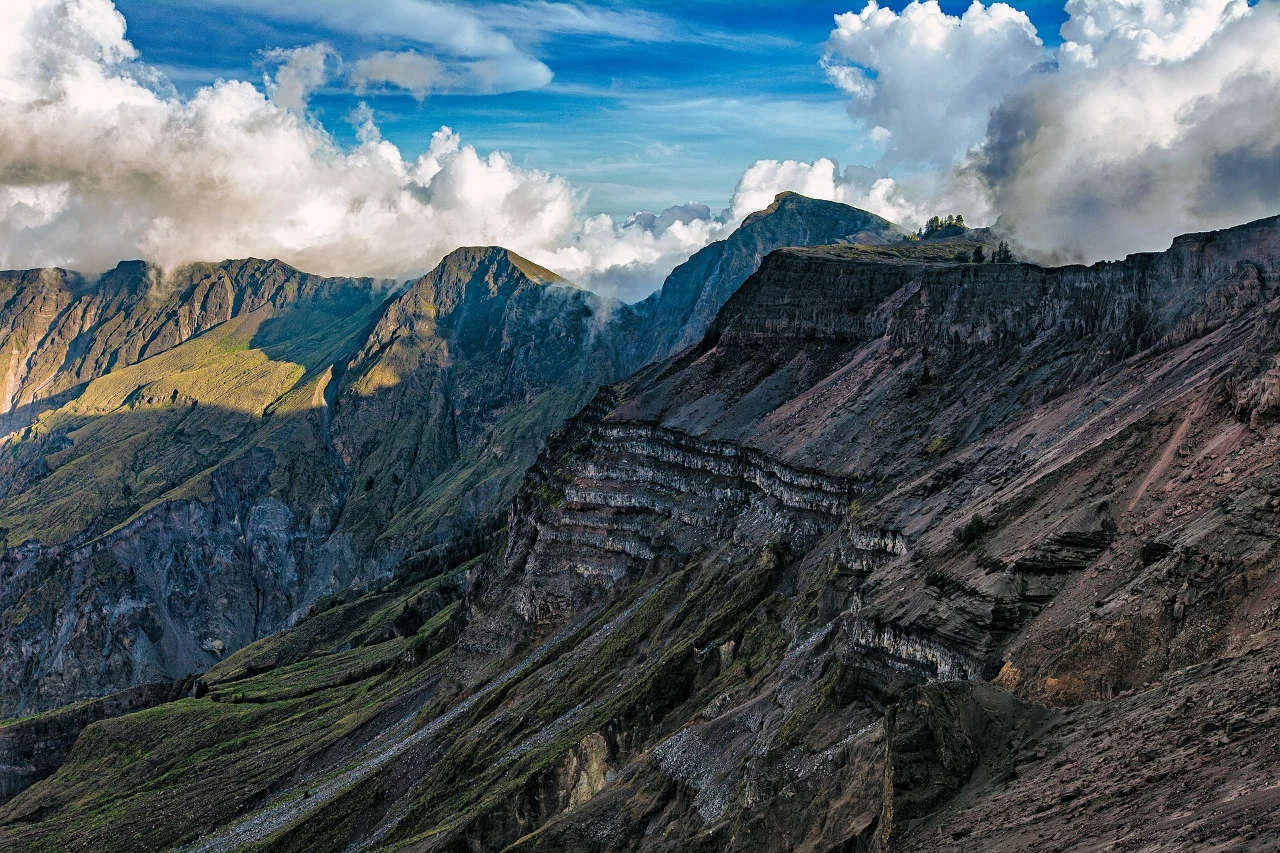
The country is located where the Indo-Australian continental plate is moving under the Eurasian plate at a rate of about 6 cm per year. The volcanoes on the Indonesian islands are part of the so-called Pacific Ring of Fire, a volcanic mountain range about 3,500 km long, marked on maps.n
n
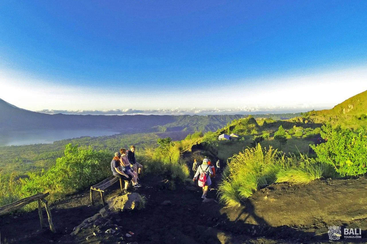
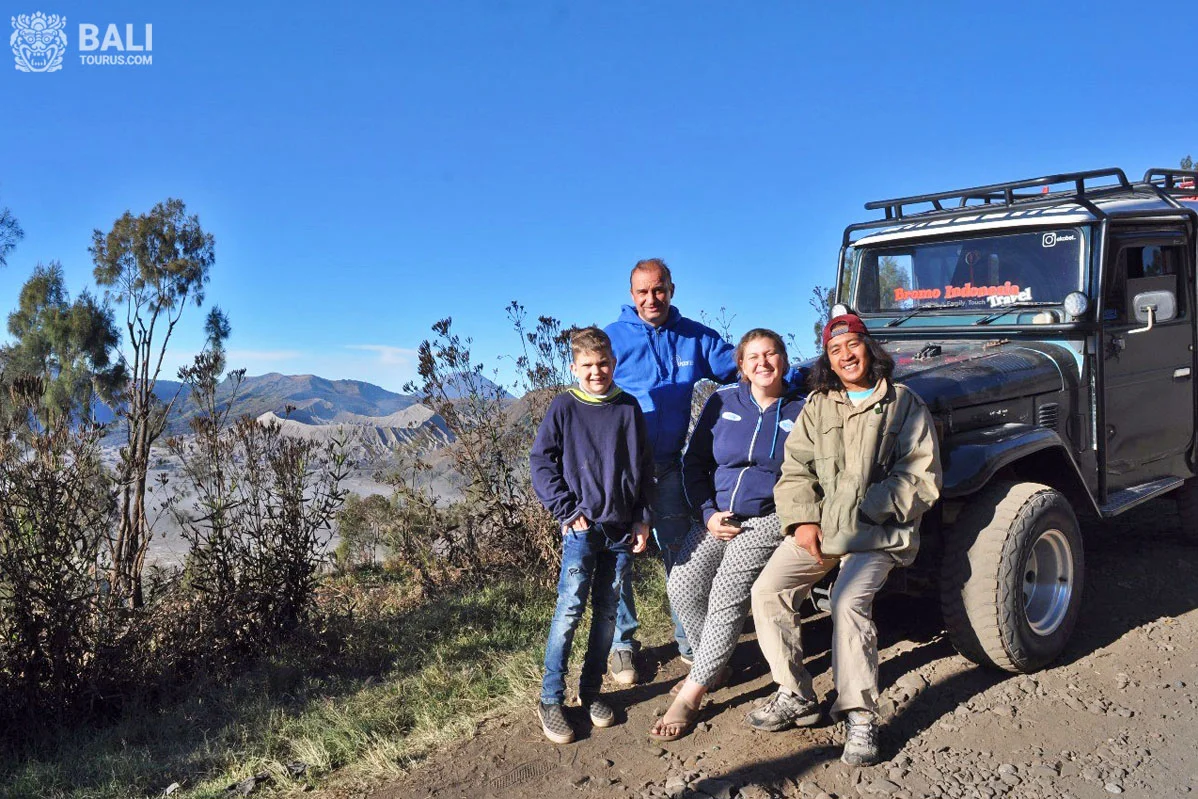
Climbing with professional guides
The best time for an excursion is considered to be before dawn. When the sun begins to rise, the sky is usually clear and the summit offers stu
ing views of the surrounding area. During the day, clouds prevent you from admiring the landscape. Climbing some mountains is impossible due to high volcanic activity.
Excursions to the craters of Indonesia leave an unforgettable experience. It is recommended to do them together with experienced guides, as many dangers await tourists along the way. A person who does not know the area is not able to assess them correctly. There are known cases where travelers died after falling into the crater.
The role of the “fire mountains” in the life of the local populatio
Volcanism has a special impact on the lives of Indonesians. They attribute magical functions to ancient geological formations and erected hundreds of large and small temples in their honor. Sacrificial ceremonies to demons and gods are regularly performed on their peaks. The list of Indonesian volcanoes that erupted at least once during the Quate ary period (anthropocene) includes 144 mountains. They are located on islands such as:
- Greater Sunda: Java, Sulawesi, Sumatra.n
- Moluccan: Tidore, Kayoa, Damar, Bachan, Banda, Halmahera, Te ate, Gunungapi, Makian, Manuk, Mare, Nila, Teun, Serua, Damar, Moti.n
- Lesser Sunda: Bali, Sumbawa, Batu Tara, Flores, Adonara, Lembata, Palu, Lombok, Sangeang, Pantaria.n
- Sangir: Sangir, Ruang, Sio.n
- Togian: Una-Una.n
- Krakatoa. Volcanic ash makes the soil on the islands extremely fertile. Local residents harvest 3 rice crops a year. About 70% of the land is used for agriculture.
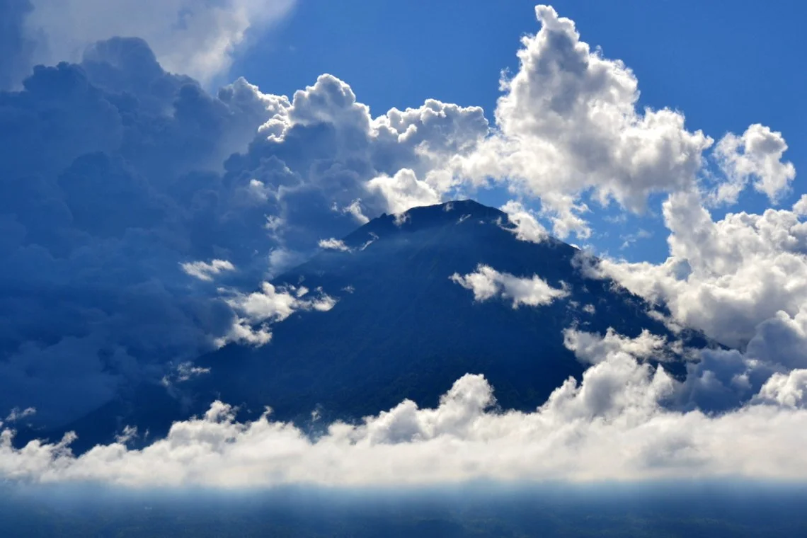
Agung
- Official name: Agungn
- Type: stratovolcanon
- Height: 3142 mn
- Climbing prohibitedn
- Last eruption: 2018n
- Location:Bali, Karangasemn
- Coordinates: 8°20′31″ S. w. 115°30′28″ E. d.
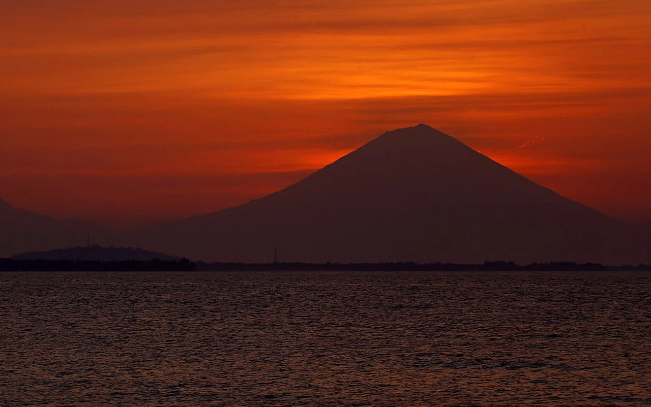
ually by a huge number of travelers from all over the world. Tours were offered by different agencies. However, today excursions are prohibited, since the stratovolcano woke up again in 2017. The last explosion occurred on July 2, 2018. A column of ash rose to a height of 2 km, and hot lava spread over the same distance. In the 19th century, Gunung Agung awakened three times. The natural disaster of 1963 took the local population by surprise, as they were preparing for the religious festival of Eka Dasa Rudra. Some villages were completely destroyed, killing about 1,600 people.
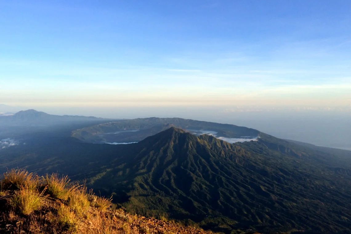
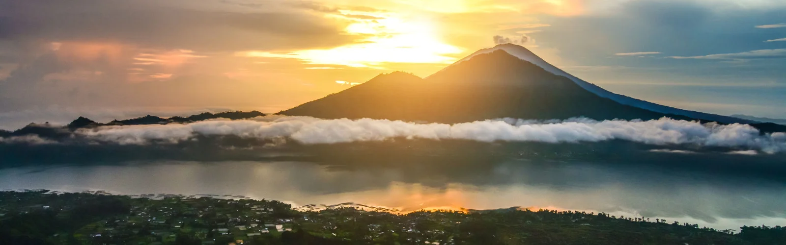
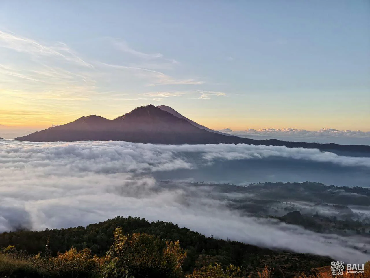
Batur
- Official name: Mount Baturn
- Type: calderan
- Height: 1717 mn
- Climbing difficulty: mediumn
- Last eruption: 1999/2000n
- Location: Bali, Banglin
- Coordinates: 8°14′31″ S. w. 115°22′30″ E. d.
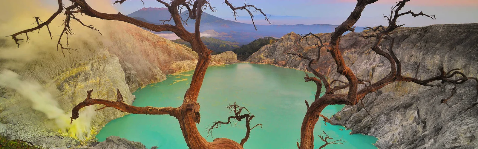
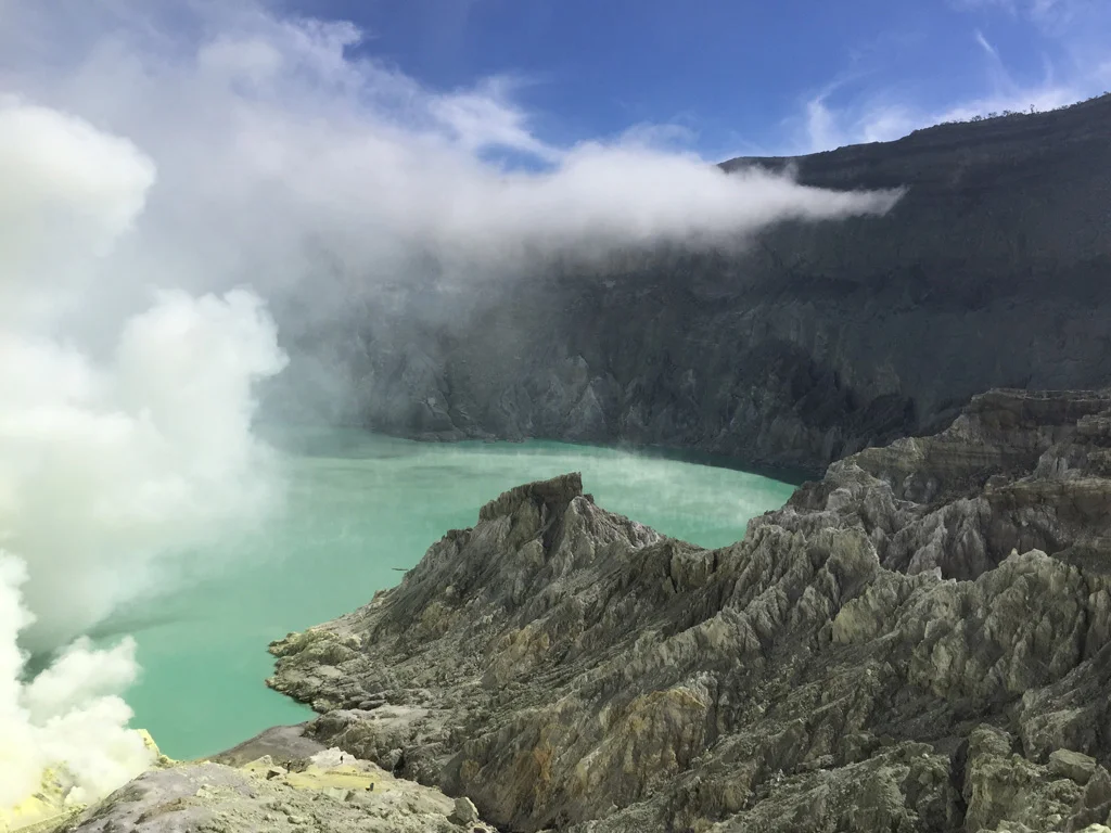
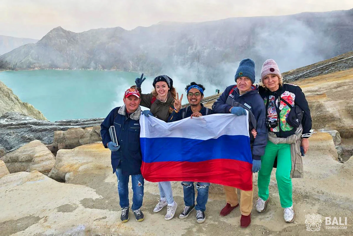
Ije
- Official name: Kawa Ijenn
- Type: stratovolcanon
- Height: 2799 mn
- Climbing difficulty: mediumn
- Last eruption: 1999n
- Location: Java, East Javan
- Coordinates: 8°04′ S. w. 114°16′ E. d.
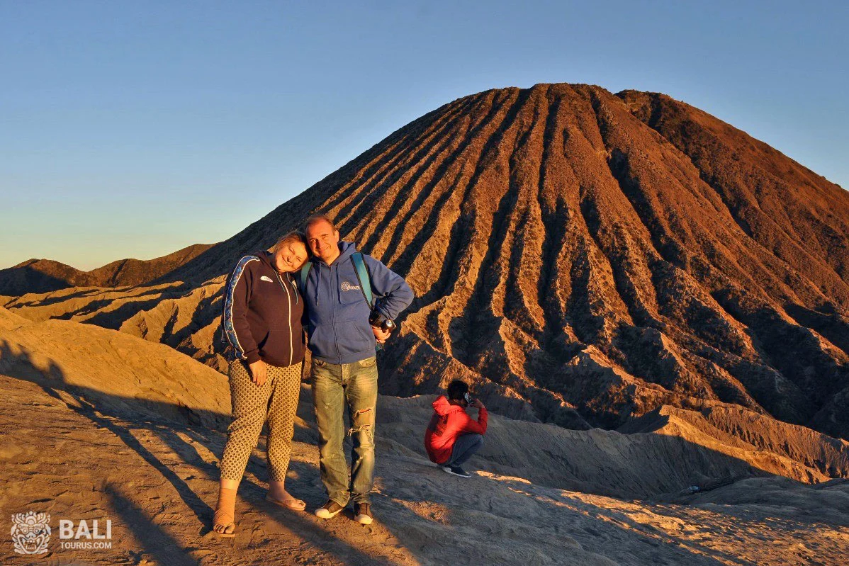
Bromo
- Official name: Bromon
- Type: stratovolcanon
- Height: 2329 mn
- Climbing difficulty: lown
- Last eruption: 2019
- Location: Java, East Javan
- Coordinates: 7°56′30″ S. w. 112°57′00″ E. d.
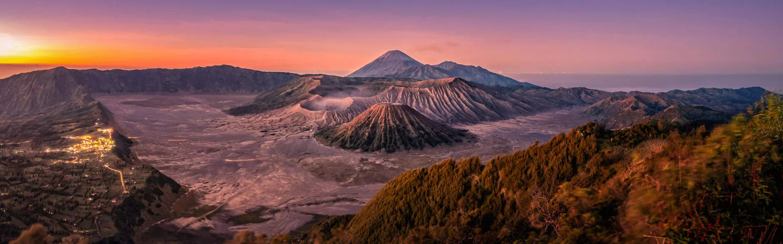
ual holiday at the Bromo volcano - Yadnaya Kasada. The custom is still observed by local residents. The main event is climbing to the top at night and making offerings to the gods.
Kelimutu
- Official name: Kelimutun
- Type: complexn
- Height: 1639 mn
- Climbing difficulty: lown
- Last eruption: 1968n
- Location: Flores, Nusa Tenggara Timurn
- Coordinates: 8°46′12″ S. w. 121°49′12″ E. d.
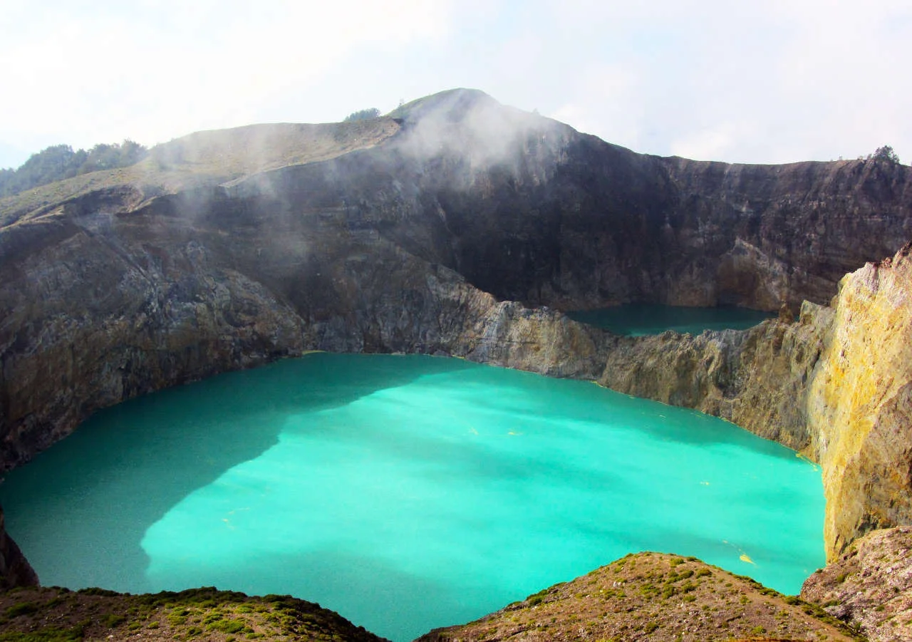
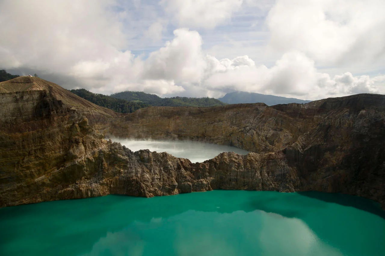
Names of Kelimutu reservoirs indicated on all tourist maps:
- Tiwi Ata Mbupu - Lake of the Ancients,n
- Tiwu Nua Muri Kooh Tai - Lake of Boys and Girls,n
- Tiwu Ata Polo – Enchanted Lake. From the village you can climb the mountain on foot or by small minibus along a winding road. On either side of Kelimutu are the older peaks of Kelibara (2 km to the north) and Kelido (3 km to the south).
Krakatoa
- Official name: Krakatau, or Krakotoan
- Type: calderan
- Height: 813 mn
- Climbing is impossible
- Last eruption: 2009
- Location: Krakatoa, Lampung
- Coordinates: 6°06′07″ S. w. 105°25′23″ E. d.
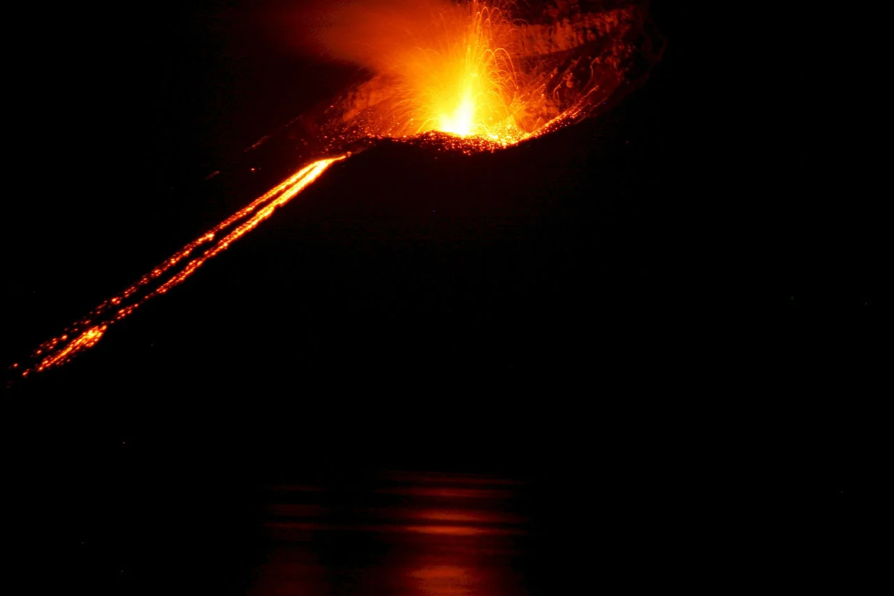
ed the construction of houses within a radius of 3 km from the mountain.
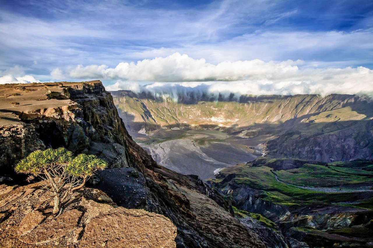
Tambora
- Official name: Tamboran
- Type: stratovolcanon
- Height: 2850 mn
- Climbing difficulty: highn
- Last eruption: 1967±20n
- Location: Sumbawa, Nusa Tenggara Baratn
- Coordinates: 8°14′43″ S. w. 117°59′34″ E. d.
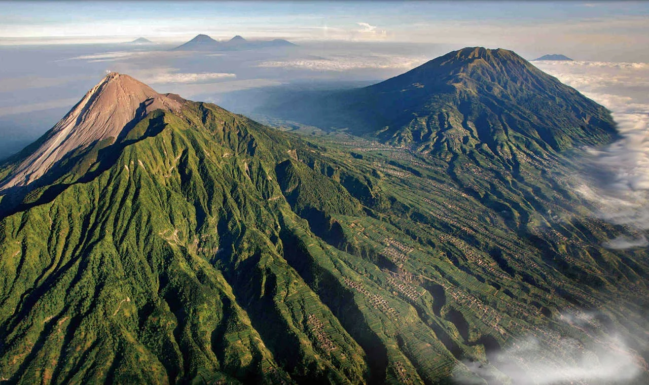
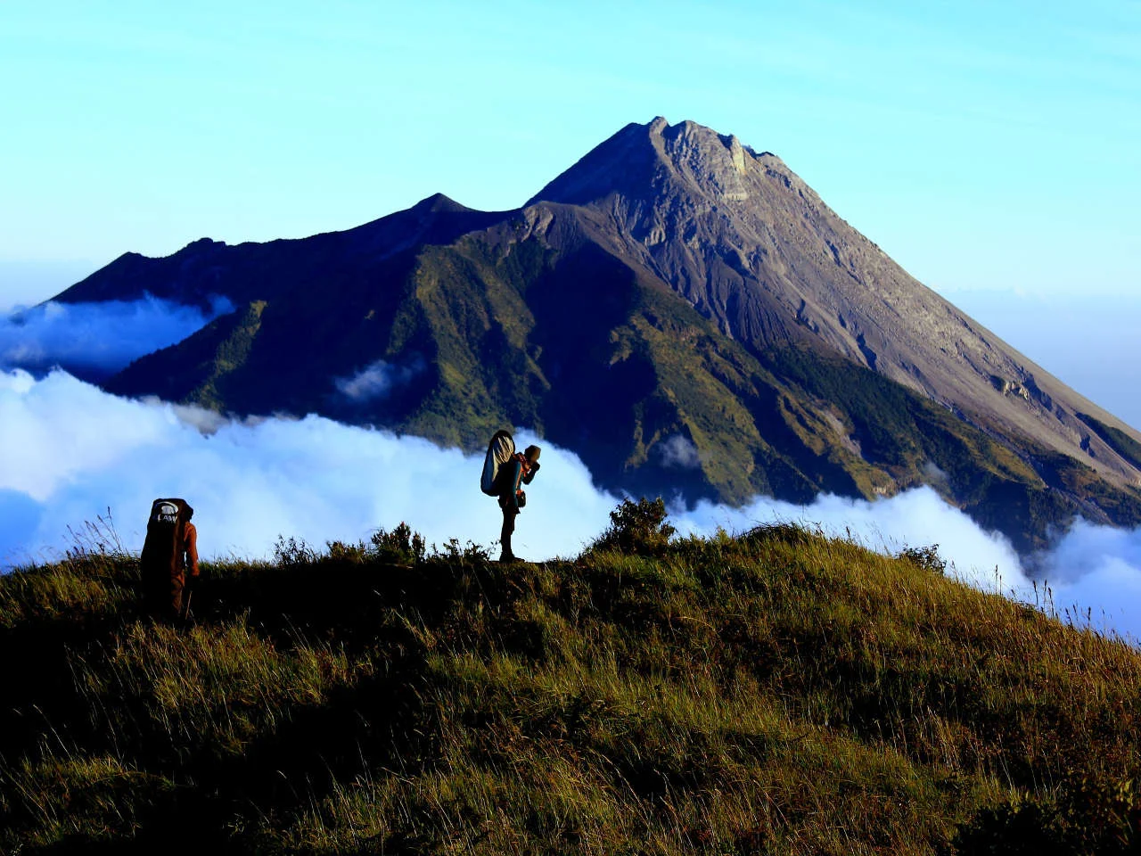
Merapi
- Official name: Merapin
- Type: stratovolcanon
- Height: 2968 mn
- Climbing is impossiblen
- Last eruption: 2010n
- Location: Java, Central Javan
- Coordinates: 7°32′31″ S. w. 110°26′42″ E. d.
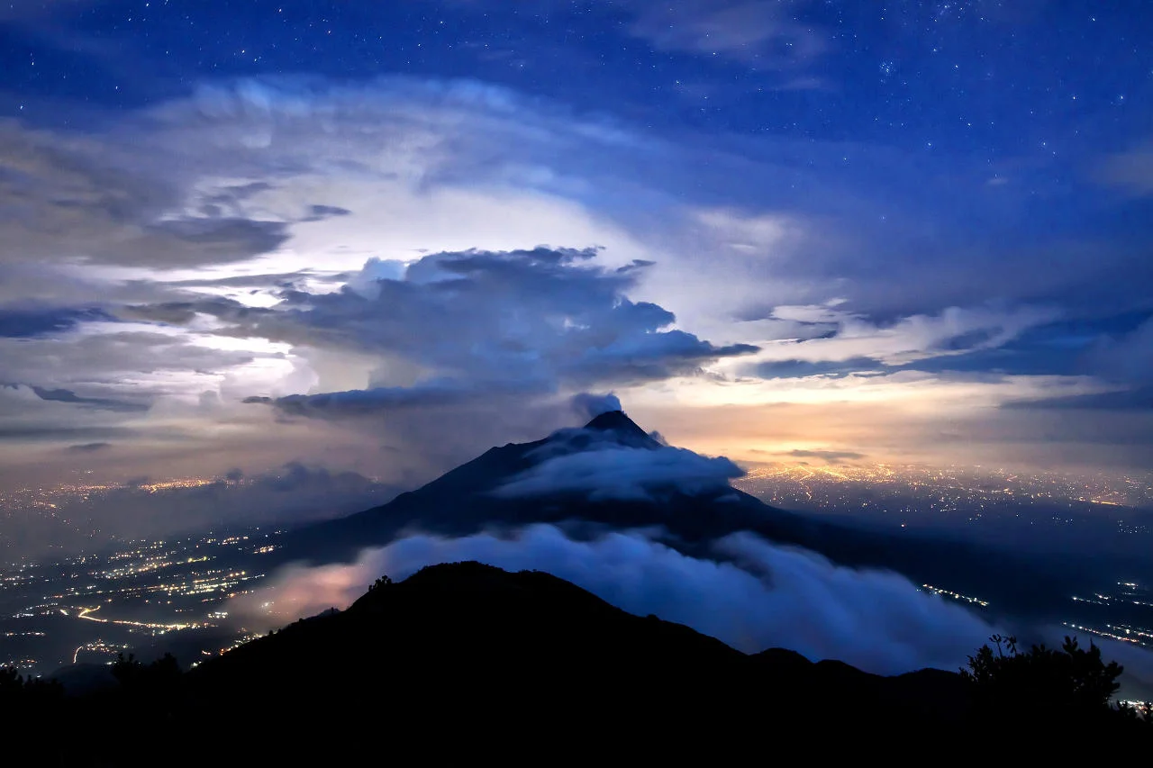
ually perform sacrifices to pacify ancient spirits. The Javanese people believe that Merapi is home to an invisible kingdom whose ruler protects the inhabitants of the villages located around the mountain. At a high altitude before the 2010 eruption, there lived a spiritual guardian of the volcano named Mba Marijan. He served the Sultan of Yogyakarta and the spirits and demons of Merapi at the same time. According to the people of Indonesia, Mba could predict the behavior of the mountain. People, including the Sultan, listened to him more than to the advice of scientists. However, the custodian died on October 26, 2010 along with 15 other Hindus.
How to get there
Many “fire mountains” are indicated on the map of Indonesia. The easiest places to get to are those located in Bali, where planes fly from Moscow. To see the volcanoes of the island of Java (Kavu, etc.) and other regions of the Republic of Indonesia, you will have to additionally travel by water. A list of geological formations and information about them can be found in guidebooks. Balitourus offers excursions to the most popular of them.n