In this area10
On the map →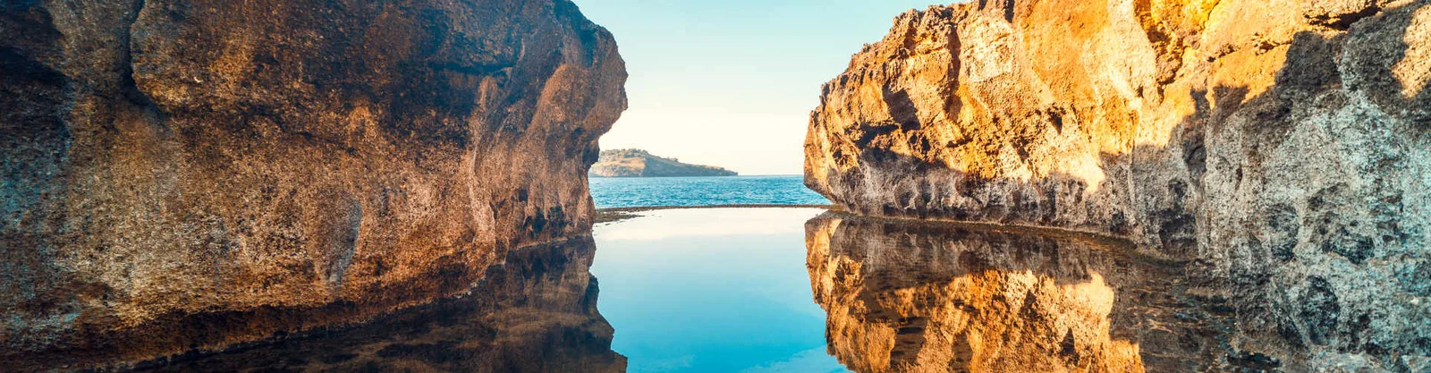
Angel's Billabong
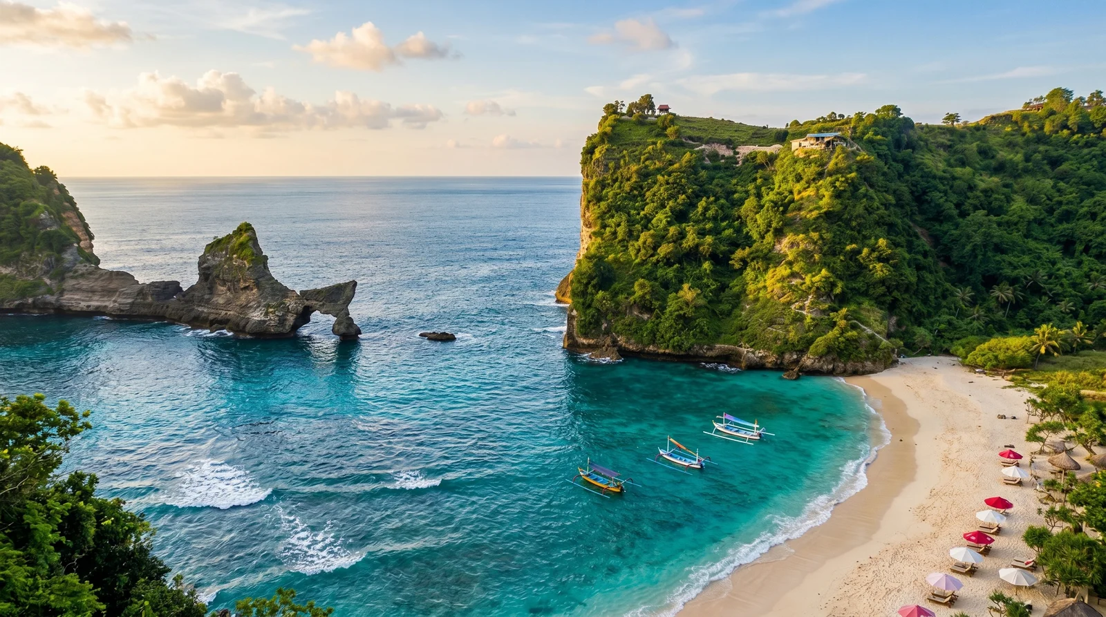
Atuh Beach
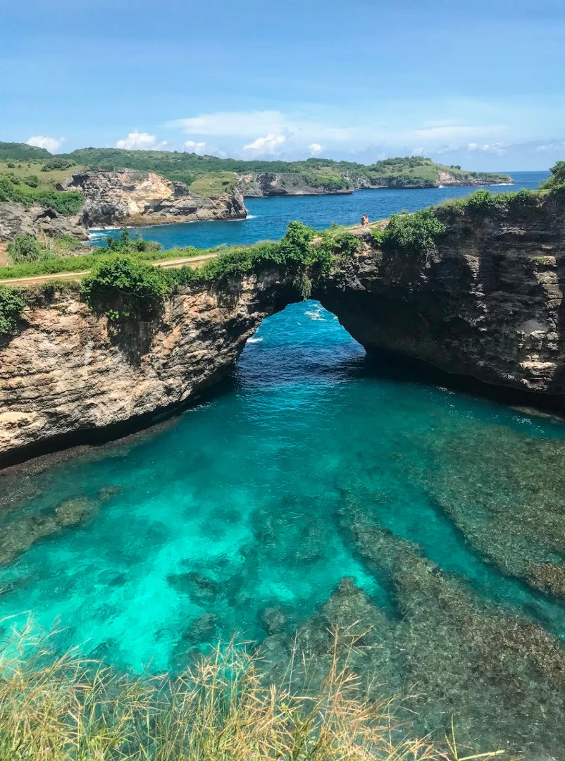
Broken Beach
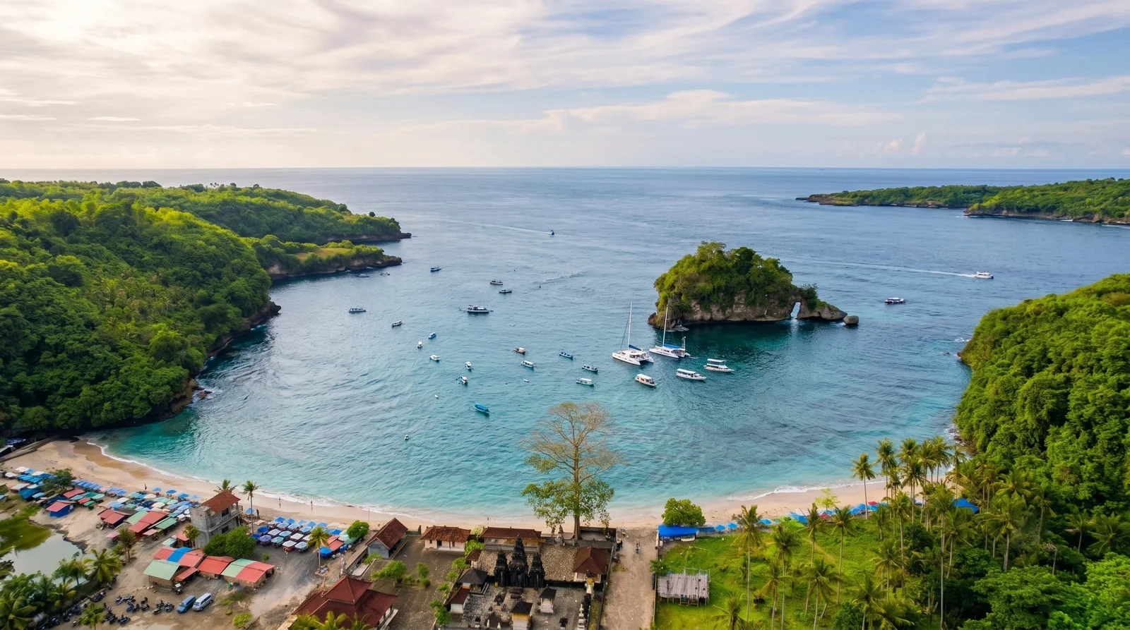
Crystal Bay
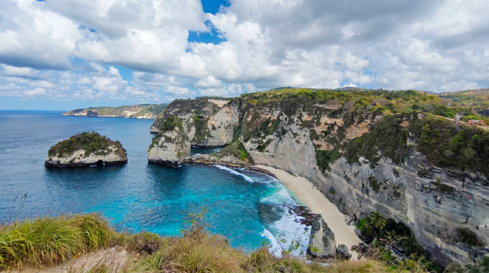
Diamond Beach
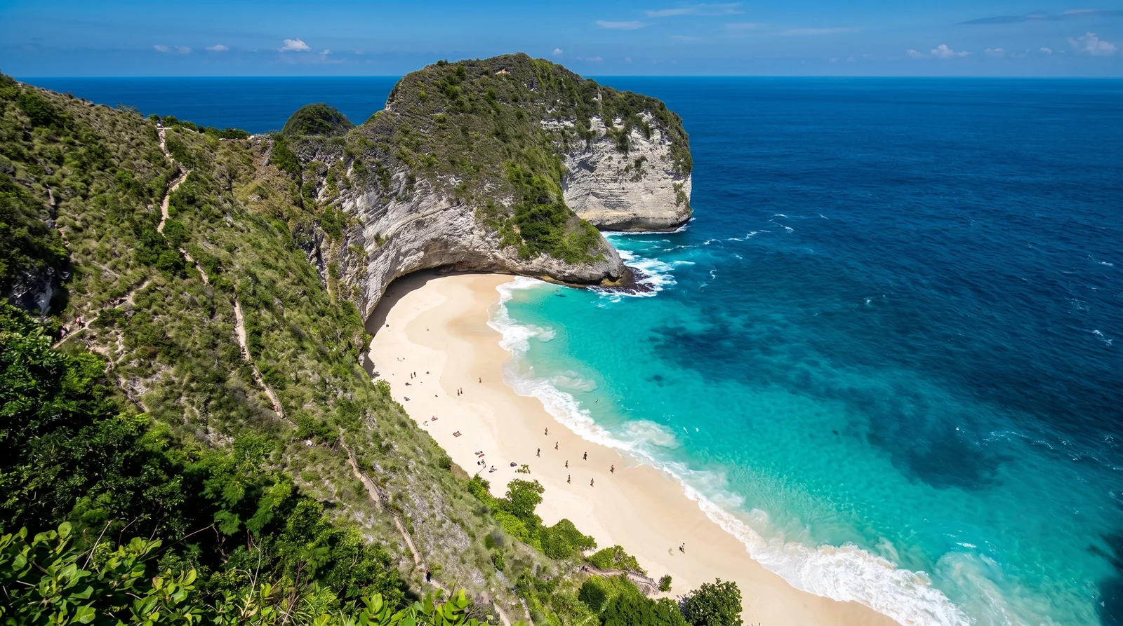
Kelingking Beach
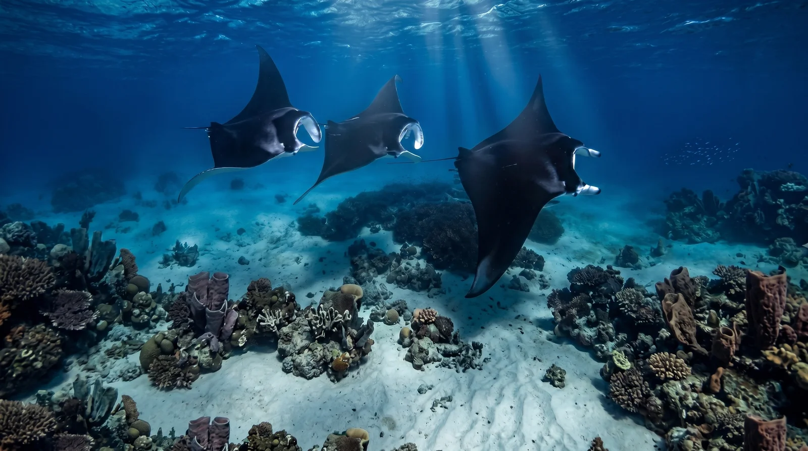
Manta Point
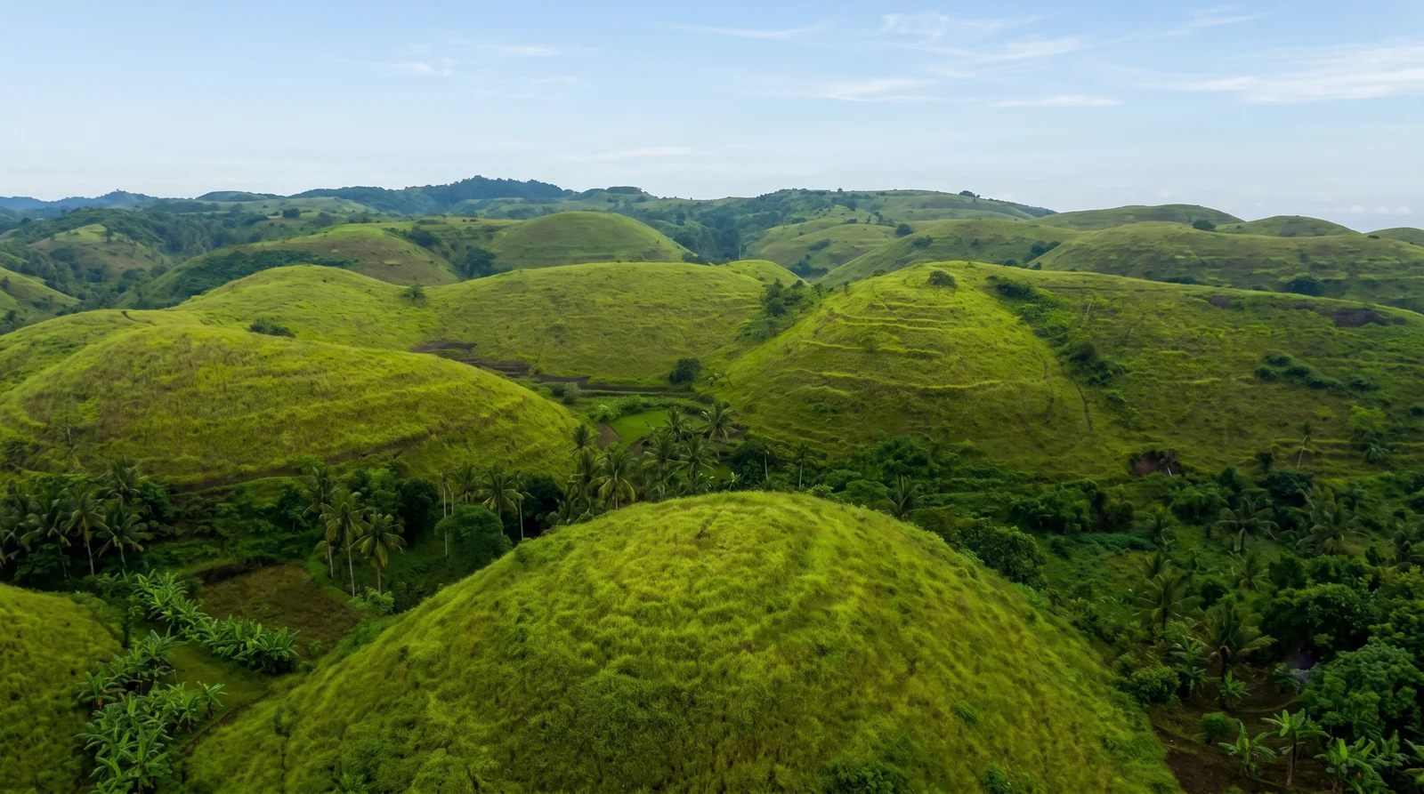
Teletubbies Hill
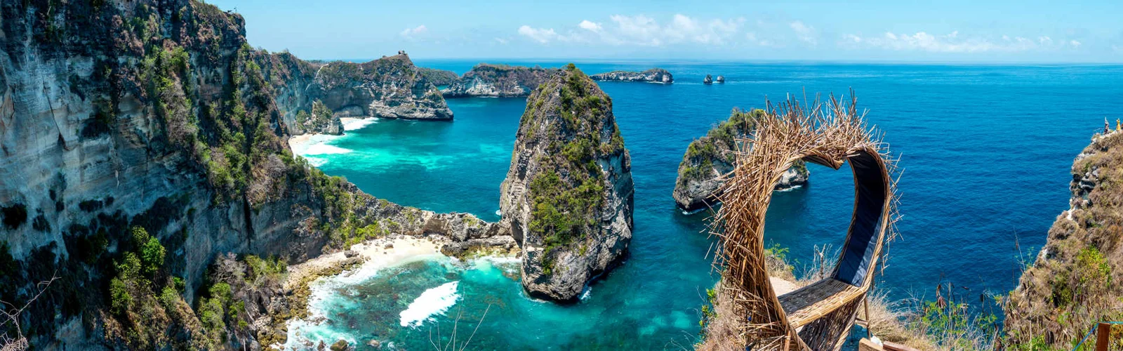
Thousand Islands Viewpoint
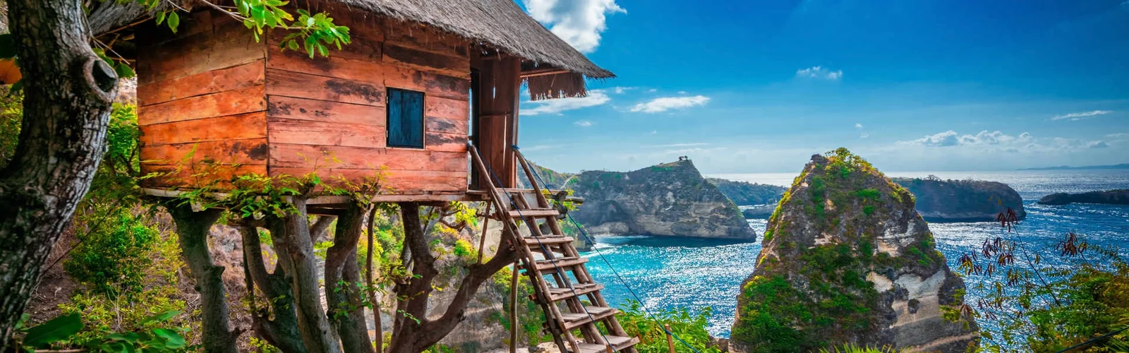
Tree House (Rumah Pohon)
At a Glance
- Where: off Bali's southeast coast, across the Badung Strait, Klungkung regency
- Area: about 202 km² — the largest of the three Nusa islands
- Highest point: Mount Puncak Mundi, ~524 metres
- Population: around 65,000
- Getting there: fast boat from Sanur, 30–45 minutes
- Best time: dry season, April–October
- Time needed: at least 1 day, ideally 2–3 with an overnight
Nusa Penida is the largest of the three Nusa islands off the southeast coast of Bali, famous for its sheer limestone cliffs, turquoise bays and snorkeling with giant manta rays. It sits across the Badung Strait, a 30–45 minute fast-boat ride from Sanur, and belongs to Klungkung regency. Far wilder and drier than Bali itself, the island trades rice terraces for cliffs, dry forest and scattered villages spread across a plateau that rises to 524 metres.
Why Visit
Nusa Penida has the most dramatic coastal scenery anywhere around Bali: cliffs nearly two hundred metres high, natural arches and bays in impossible shades of blue. People come for the T-Rex-shaped Kelingking headland, for snorkeling with mantas, and for an edge-of-the-world feeling that has all but vanished from mainland Bali.
- Who it's for: lovers of nature, photography, snorkeling and diving, and anyone willing to put up with rough roads for big views.
- Who should think twice: the island's roads are poor and the beach descents are steep — for a relaxed pool-side holiday, neighbouring Lembongan or Bali itself suit better.
The island is large, and a single day trip from Sanur only scratches the surface. To avoid spending the whole day in a car, routes are usually split into a west and an east loop.
The West Coast: The Famous Postcards
The west is the island's calling card and the source of most of its famous photos. The sights sit close together and pair well in one day.
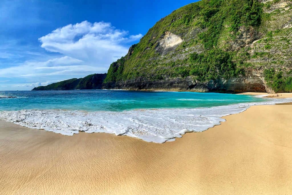
- Kelingking Beach — the headland shaped like a Tyrannosaurus head (which is why people call it the "dinosaur" or "T-Rex" cliff), about 180 metres high, with a white beach far below. The only way down is a steep, near-vertical staircase: roughly 30–40 minutes down and longer back up. The much-hyped glass elevator on the cliff was never finished and stays closed — construction was halted in 2025 — so you cannot ride down. Swimming below is banned because of deadly currents, so most people just take in the view from the ridge (where it pays to keep your distance from the pushy monkeys and mind your belongings).
- Broken Beach (Pasih Uug) — a circular collapsed cove with a natural arch through which the ocean flows into the lagoon.
- Angel's Billabong — a natural rock pool of emerald water right beside Broken Beach; only safe to enter in calm seas at low tide.
- Crystal Bay — the main beach for snorkeling and sunsets, with clear water and visibility often beyond 30 metres.
The East Coast: Beaches and Viewpoints
The east is quieter and greener, and its beach descents are a real workout for the legs. This side is best tackled as a separate day.
- Atuh Beach and the adjacent Diamond Beach — white sand and sea stacks rising from turquoise water beneath a tall cliff.
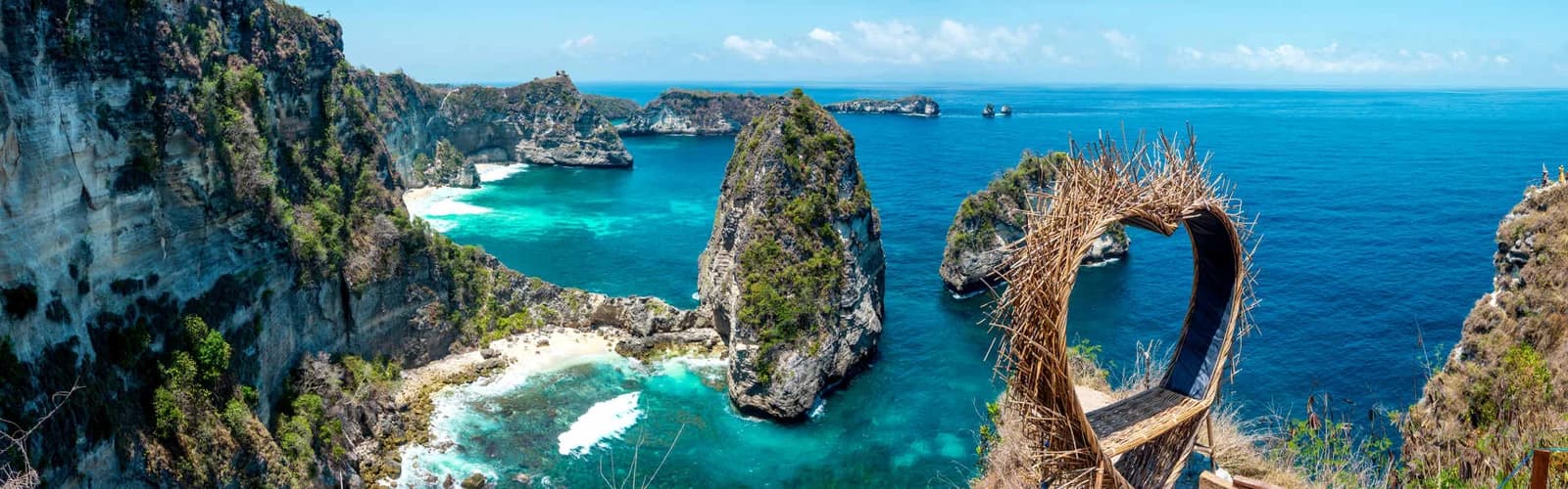
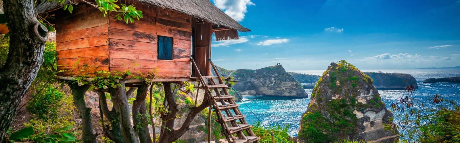
- Thousand Islands viewpoint and the Rumah Pohon tree house — a panorama of the jagged coastline scattered with rocky islets.
- Teletubbies Hills — a row of near-identical green dome-shaped hills, at their greenest at the end of the rainy season.
Snorkeling and Diving: Mantas and Mola Mola
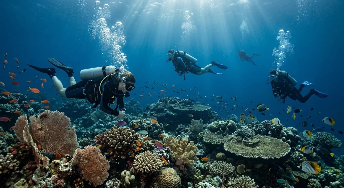
Nusa Penida is one of Bali's best places underwater: the island lies within the Coral Triangle and is washed by cold, plankton-rich currents. That is exactly why large pelagic fish gather here.
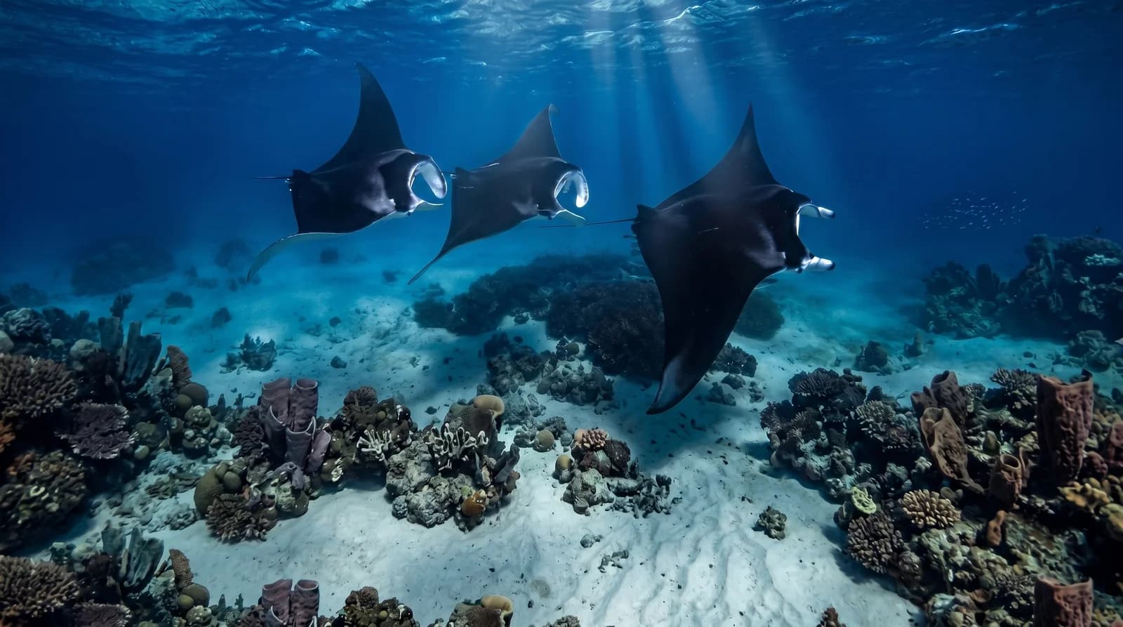
- Manta Point — off the southwest coast there are cleaning stations where reef mantas appear year-round; you can snorkel right alongside rays several metres across.
- Crystal Bay — the top spot to meet the oceanic sunfish (mola mola). These huge deep-water fish rise toward the reefs in the cold season, roughly from July to October.
- A standard snorkeling tour usually links several sites: Manta Bay, Crystal Bay, Gamat Bay and Wall Point.
Tip: currents around Nusa Penida can be strong and cold even close to shore — choose a guided boat with life jackets and stay with your group.
The Island's Dark Legend
For the Balinese, Nusa Penida was for centuries the "island of black magic" — a place of exile and a home of demons that ordinary people avoided without good reason. At the centre of these beliefs is Ratu Gede Mecaling, a fanged giant demon said to have sent disease and epidemics across Bali.
The island's main shrine is Pura Dalem Ped, near the harbour at Sampalan. It is one of Bali's most important temples: every Balinese is said to make a pilgrimage here at least once in their life to reconcile the dark and the light. Another striking site is the cave temple Goa Giri Putri, entered through a narrow cleft in the rock that opens into a vast underground chamber.
When to Visit
The best time is the dry season, April to October: drier roads, safer trails down to the beaches, and clearer water for snorkeling.
- In the dry season underwater visibility is at its best, and the descents (Kelingking, Atuh, Peguyangan) are far less slippery.
- In the wet season (November–March) the steep trails turn dangerous and the sea is rougher more often.
- For mola mola, aim for July–October; mantas are around all year.
Plan Your Visit
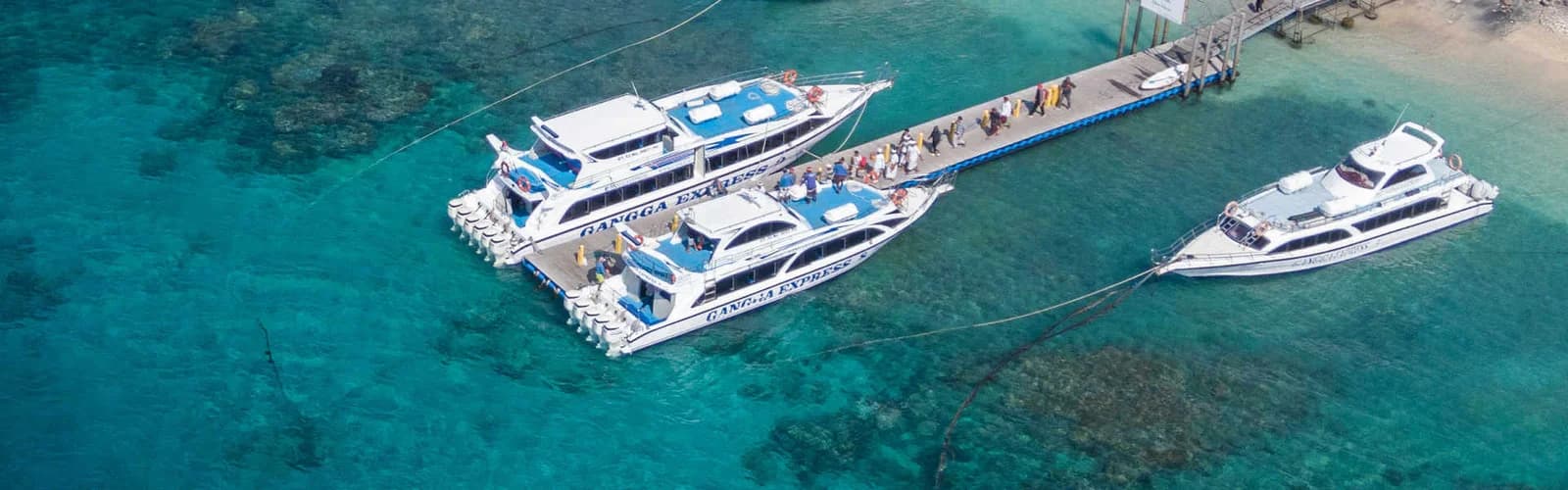
Nusa Penida is reachable only by boat — there is no bridge from Bali. Fast boats run mainly from Sanur and take 30–45 minutes to the Toyapakeh, Banjar Nyuh or Sampalan piers.
- From Bali — a fast boat from Sanur (occasionally from Padang Bai or Kusamba). Book ahead; in high season the boats fill up.
- Getting around — roads are narrow, broken and very steep in places; the easiest option is a car with a driver or an organised tour. Renting a scooter is possible but demands experience and care.
- Bring: cash, water, sunscreen and sturdy shoes with good grip for the descents.
- Allow extra time: crossing between the west and east takes longer than the map suggests.
Combine Your Trip
Nusa Penida pairs easily with its neighbouring islands, reached by short boat hops.
- Nusa Lembongan — the smaller, more developed island with beaches and cafés.
- Nusa Ceningan — linked to Lembongan by the Yellow Bridge and known for its Blue Lagoon.
FAQ
How long do you need on Nusa Penida? At least one full day, but the island is large and the roads are slow. To see both the west and the east comfortably, it's better to stay overnight for 2–3 days.
How do you get to Nusa Penida? By boat only: a fast boat from Sanur takes 30–45 minutes. There is no bridge from Bali.
Can you swim at Nusa Penida? At most of the famous beaches (Kelingking, Atuh) swimming is dangerous or banned because of currents. The safest water is at Crystal Bay and the guided snorkeling sites.
When can you see mantas and mola mola? Mantas visit Manta Point year-round. The oceanic sunfish (mola mola) is most often seen at Crystal Bay from July to October.
Frequently asked questions
Excursions visiting Nusa Penida
Nusa Penida 2 Days
Sightseeing & Snorkeling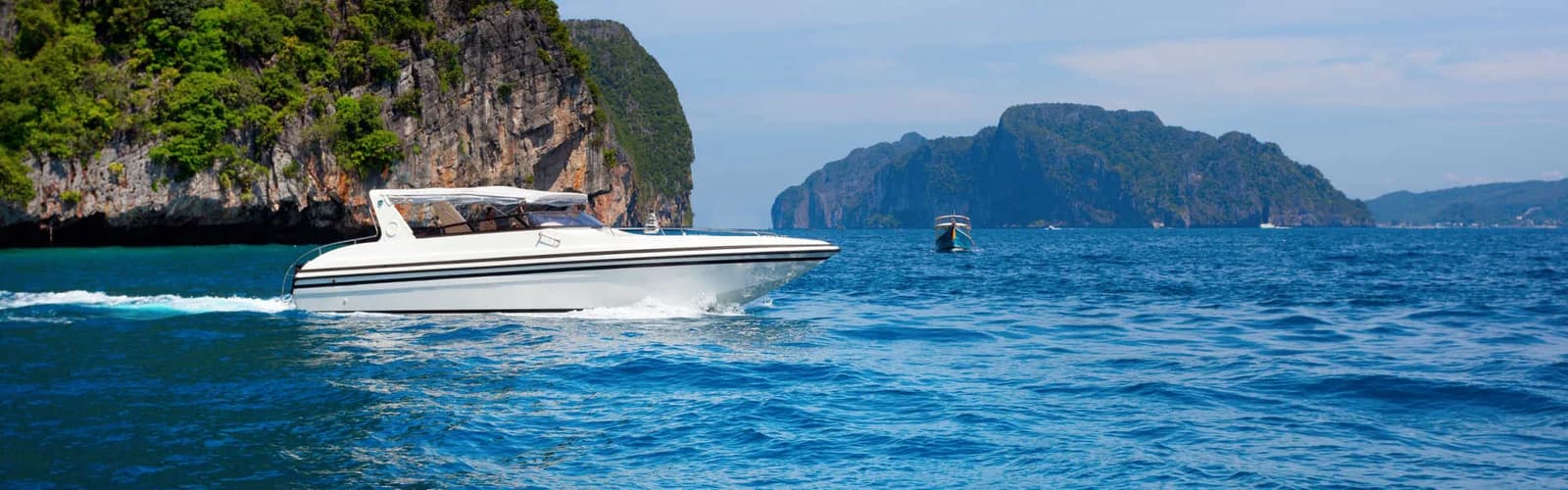
Ocean Fishing
Recommended / For Large Groups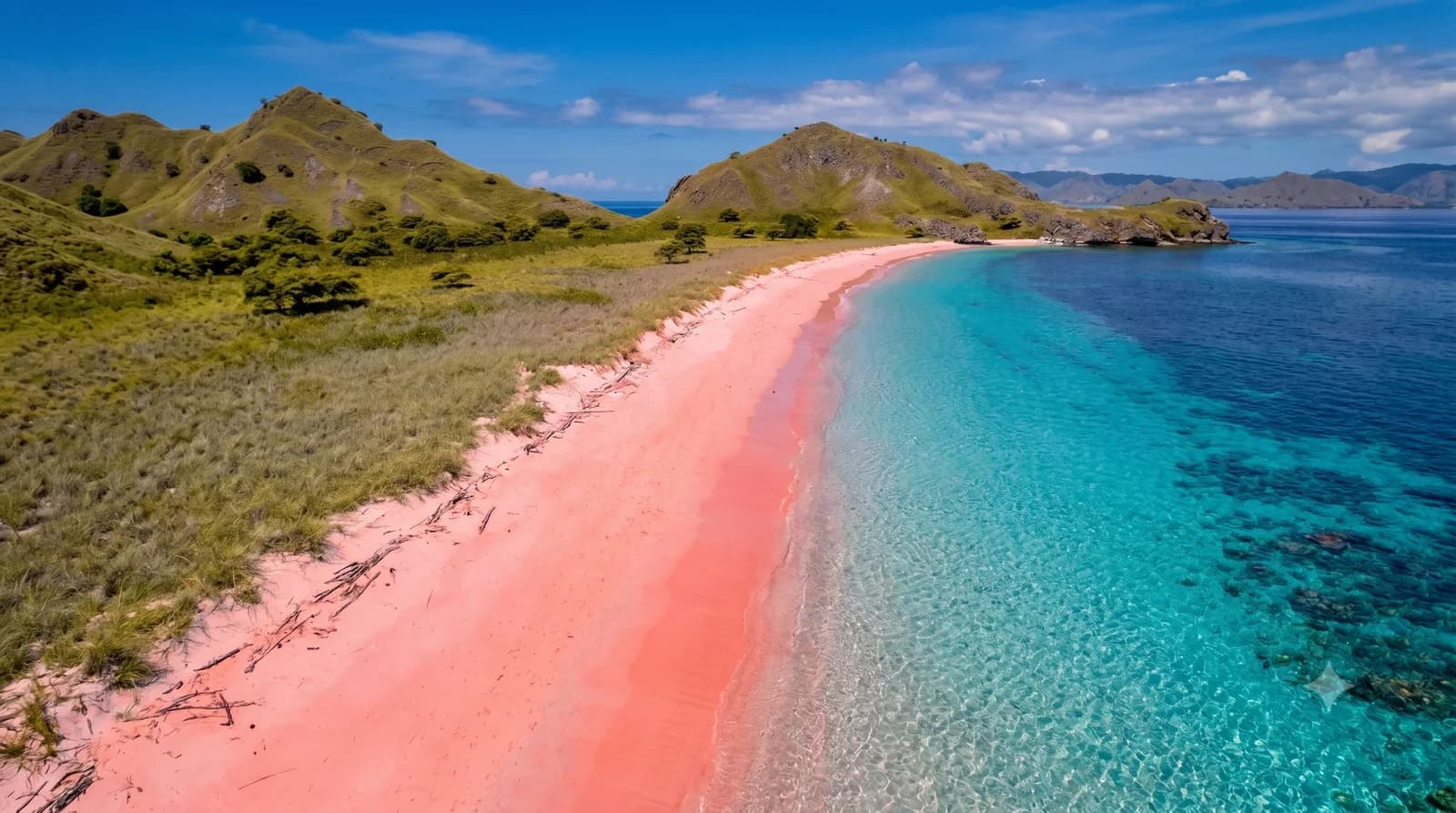
Manta Point + 3 More Spots
Group Tour / Private Tour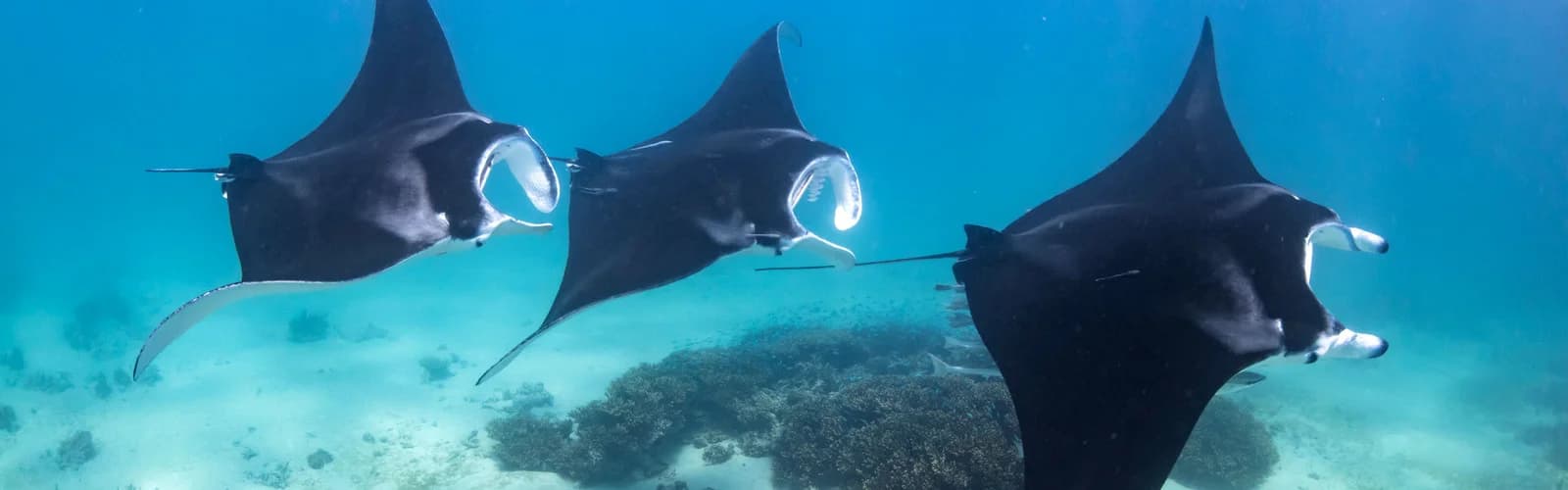
Snorkeling + Nusa Penida Highlights
Group Tour / Private Tour